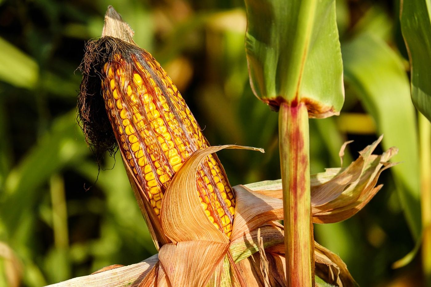
While watching grass grow might not seem like the most exciting activity, what about corn!? New research published in the journal Remote Sensing of Environment argues that watching corn grow in real-time should be your next binge-watch after you’ve watched everything there is to see on Netflix and you’re still stuck inside because of Coronavirus.
The research was headed up by scientists at the University of Illinois in collaboration with members of the Illinois Corn Growers Association. Together, they developed an innovative technique that is capable of measuring crop productivity in real-time. Bringing together field measurements, an in-field camera network, and high-resolution, high-frequency satellite data, the method can estimate crop productivity with mind-boggling accuracy.
"Our ultimate goal is to provide useful information to farmers, especially at the field level or sub-field level. Previously, most available satellite data had coarse spatial and/or temporal resolution, but here we take advantage of new satellite products to estimate leaf area index (LAI), a proxy for crop productivity and grain yield. And we know the satellite estimates are accurate because our ground measurements agree," explains lead author Hyungsuk Kimm, who is a PhD student in the Department of Natural Resources and Environmental Sciences (NRES) at the University of Illinois.
Using a complex series of mathematical algorithms and the latest satellite imagery data measuring surface reflectance in crop fields, Kimm and his colleagues were able to monitor leaf area index in 36 corn fields throughout Illinois. They supplemented this data with on-the-ground data from several in-field camera systems. But not only that, Kimm went above and beyond, making trips out the cornfields themselves two times a week during the growing season and measuring corn leaves by hand.
From this overlapping of data methods, Kimm was able to show that the algorithms he and his colleagues developed were highly accurate at predicting real-time LAI estimates. "We are the first to develop scalable, high-temporal, high-resolution LAI data for farmers to use. These methods have been fully validated using an unprecedented camera network for farmland," says principal investigator Kaiyu Guan, assistant professor in the Department of NRES and Blue Waters professor at the National Center for Supercomputing Applications.
"The new LAI technology developed by Dr. Guan's research team is an exciting advancement with potential to help farmers identify and respond to in-field problems faster and more effectively than ever before," says Director of water quality research for the Illinois Corn Growers Association, Laura Gentry. "More accurate measurements of LAI can help us to be more efficient, timely, and make decisions that will ultimately make us more profitable. The last few years have been especially difficult for farmers. We need technologies that help us allocate our limited time, money, and labor most wisely.”
The implications for this study go beyond just Illinois and corn. The researchers say that their method is scalable and accurate enough to measure LAI data anywhere in the world and that it could help identify and improve underperforming crop areas, thus making agricultural fields more efficient.
Sources: Remote Sensing of Environment, Science Daily