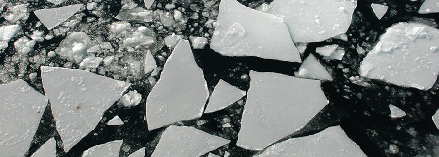
Arctic sea ice is vital to Earth's climate system, and recent decades have seen troubling declines in sea ice due to global climate change. According to NASA, scientists can track sea ice coverage in the Arctic Ocean but have been unable to gauge sea ice thickness successfully. Now, thanks to the mission of NASA'S Ice, Cloud, and Land Elevation Satellite-2 (ICESat-2), which launched in 2018, scientists have estimates of sea ice thickness and can calculate how thickness has changed over time.
Researchers are hopeful that ICESat-2 will advance sea ice research and report more accurate findings of sea ice thickness. An article from NASA reports that the first ICESat mission (2003 to 2009) revealed how Arctic sea ice thickness dropped drastically during the first decade of the 2000s. Since 2010, the European Space Agency's Cryo-Sat-2 mission has reported fairly consistent Arctic sea ice thickness.
Nathan Kurtz, the deputy project scientist at NASA's Goddard Space Flight Center, stated to NASA that "the extraordinary accuracy and year-round measurement capability of ICESat-2 provides an exciting new tool to allow us to better understand the mechanisms leading to these changes, and what this means for the future."
ICESat-2 started in September 2018, intending to track changes in the Arctic and Southern Ocean regions. ICESat-2 uses a laser altimeter, which, according to the study, is "a highly precise laser that provides routine, high-resolution, surface height measurements across the globe." Every second, ICESat-2 sends out 10,000 pulses of light to Earth's surface, which bounce back to the satellite. The amount of time it takes for the light to return to the satellite is recorded. NASA explains that the light reflects off the first thing it hits—open water, sea ice, or snow on sea ice—and because of this, the team used ICESat-2 data combined with other measurements to calculate sea ice thickness.
The results of this study were published last month in the Journal of Geophysical Research: Oceans. Based on the maps of Arctic sea ice thickness generated for October 2018 to April 2019, the scientists saw ice thickening as expected during the winter. However, this ice is thinner than expected when compared to CryoSat-2 data. Additionally, contrary to the CryoSat-2 data, this study revealed a 20% thinning across the inner Arctic Ocean domain from 2008 to 2019.
However, the team acknowledges that these missions use two different approaches to measuring sea ice thickness and that ICESat-2 is still a young mission. In the NASA article, Alek Petty, cryosphere scientist at NASA's Goddard Space Flight Center, said, "I think we're going to learn a lot from having these two approaches to measuring sea ice thickness, and the right answer is probably somewhere in between." He acknowledges that there are reasons that their estimates could be low and why the CryoSat-2 estimates are high, and concludes that more work is needed to align the methods and results.
Sources: NASA, Journal of Geophysical Research: Oceans