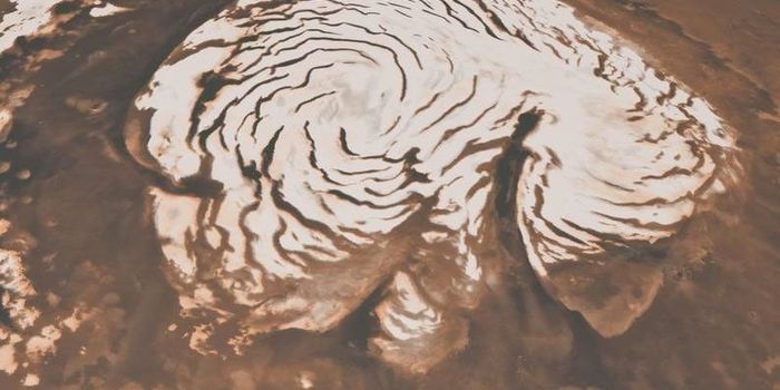
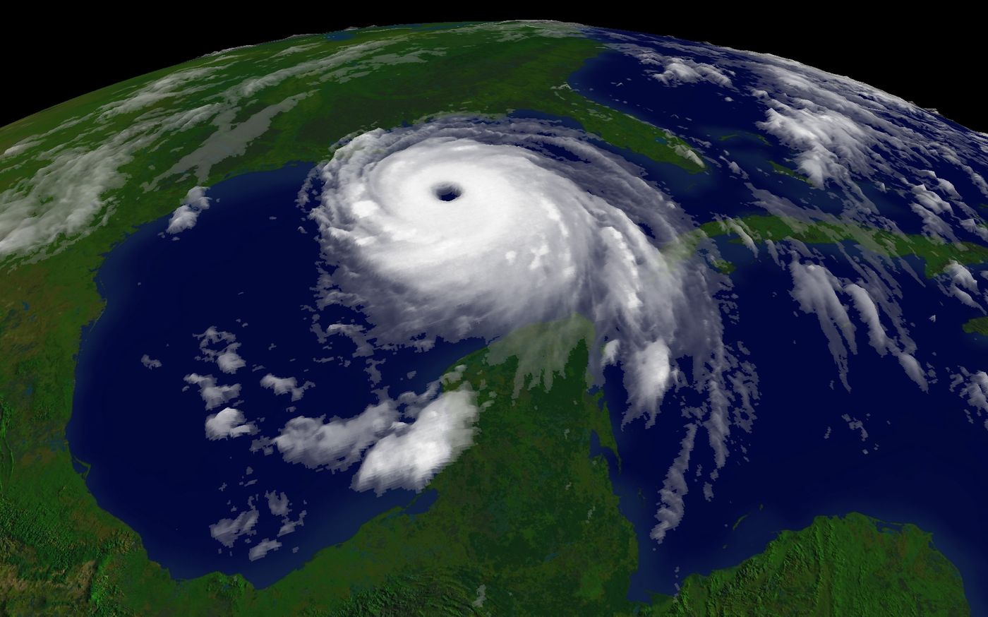
Monitoring hurricanes and typhoons is of utmost importance for security and public safety measures, especially as climate change continues to generate more intense and more frequent storms. Exciting advancements on monitoring systems were recently published from scientists with the University of Miami Rosenstiel School of Marine and Atmospheric Science. The team of researchers have determined how to measure storm intensity using atmospheric waves radiating from the storms’ centers. Watch the video below to see an example of animation from Typhoon Meranti.
Atmospheric gravity waves are produced by strong thunderstorms near the eye of a storm. “Thunderstorms in the cores of tropical cyclones generate waves that radiate outward in expanding spiral patterns. These waves can be detected in satellite images, from aircraft, and even surface instruments. They could potentially be used to monitor cyclone intensity from long distances,” reports the study. Through data analysis of 25 NOAA aircraft that flew into five different hurricanes in 2003 and 2004, the researchers were able to detect enough waves for their study. They also used data from the Extreme Air-Sea Interaction (EASI) buoy deployed in the Pacific Ocean by UM Rosenstiel School scientists in 2010.
The waves shed light on information that satellites cannot. "Of course, hurricanes are very well observed by satellites. But these waves can reveal processes occurring in the eyewall of a hurricane that are obscured from the view of satellites by thick clouds," said David Nolan, lead author of the study. "Any additional measurements, even if they provide similar information as satellites, can lead to better forecasts."
"The waves cause very weak upward and downward motions, which are recorded by the NOAA P3 as it flies through the storm," said Jun Zhang of the Hurricane Research Division. "But we were surprised at how clearly the waves could be detected at the surface."
Because the atmospheric wave strengths can be related to the maximum wind speed in the core of the storm, the scientists aim to use computer simulations to reproduce the waves, which would allow climatologists to follow weather patterns through computer models. That means that we could monitor hurricanes and typhoons from far away with barometers and anemometers, decreasing the risk involved in tracking these storms.
Sources: Science Daily, Geophysical Research Papers