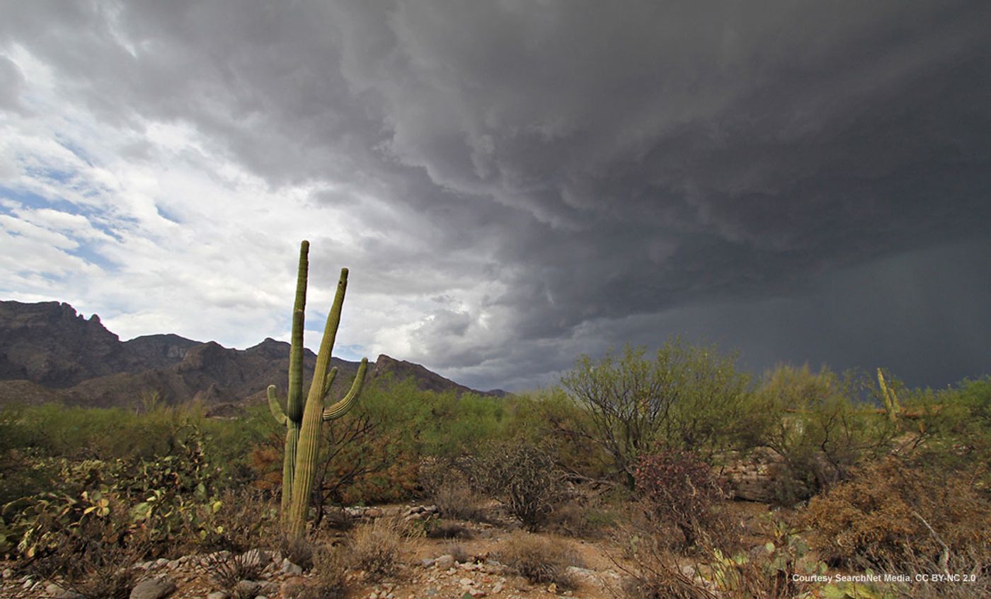
A new study published recently in the Journal of Applied Meteorology and Climatology suggests that the North American Monsoon (NAM) is becoming more intense in the United States Southwest, particularly in Arizona. Their results show that while storms are not as frequent as they have been in the last 60 years, the rain episodes are heavier and include high winds, dust storms, and flooding, which often threaten residents and property. This pattern, the study concludes, is consistent with flux caused by climate change.
Because of specific Department of Defense installations in the Southwest, and because the existing models of the NAM do not represent patterns in the climate accurately, the team analyzed Arizona rainfall data from 1950-1970 and compared it with data from 1991-2010. Defining severe weather events as days when the highest atmospheric instability and moisture occur within a long-term regional climate simulation, the scientists found that while the mean precipitation for the region stayed the same during the different time epochs, the later time period had more heavy-rain storms.
"This is one of the first studies to look at long-term changes in monsoon precipitation," co-author Christopher Castro said. "We documented that the increases in extreme precipitation are geographically focused south and west of the Mogollon Rim -- and that includes Phoenix. What's going on in the changes to the extremes is very different from what goes on in the changes to the mean," Castro commented. "Big storms, heavy flooding -- we found out those types of extreme precipitation events are becoming more intense and are becoming more intense downwind of the mountain ranges."
The trick in the team’s strategy was to use a computer model that has a resolution of 1.5 miles (2.5 km). This high resolution simulates the physical structure of a monsoon and gave the scientists very accurate results of the rainfall data, lining up with the results that radar or satellite imagery would show. It’s because of this accuracy in rainfall data that the team is confident that the model can accurately predict wind speed data as well.
But stronger rains aren’t the only change that NAM is bringing to Arizona. Castro stated that monsoons, which used to occur in the late evening, are now passing by earlier in the day, which poses a bigger threat to people on the roads.
In an effort to better understand NAM, the team plans to continue research in Mexico.
Sources: Journal of Applied Meteorology and Climatology, Science Daily