A United Launch Alliance-branded Delta II rocket took to the skies from a Vandenberg Air Force Base, California-based launch pad on Saturday to deploy NASA’s next-generation Ice, Cloud, and land Elevation Satellite (ICESat-2).
The launch transpired at 9:02 Eastern time, resulting in a lovely rocket show for spectators and a moment to remember for environmental scientists everywhere.
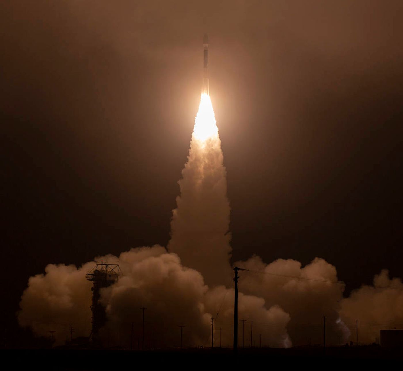
Image Credit: NASA / Bill Ingalls
In a public statement released after the launch, NASA explains how the ICESat-2 satellite touts the Advanced Topographic Laser Altimeter System (ATLAS), a precise laser measurement system intended for gauging global ice loss related to climate change.
“With this mission we continue humankind’s exploration of the remote polar regions of our planet and advance our understanding of how ongoing changes of Earth’s ice cover at the poles and elsewhere will affect lives around the world, now and in the future,” explained Thomas Zurbuchen, the associate administrator of NASA’s Science Mission Directorate.
A video showcasing the launch is available to watch below:
Related: SpaceX sees another successful Block-5 Falcon 9 rocket launch
But the satellite’s practicality doesn’t end with ice loss at the Earth’s polar ice caps; it will also help scientists analyze significant sea level rise to understand how it might impact humankind in the future.
“For us scientists, the most anticipated part of the mission starts when we switch on the laser and get our first data,” added ICESat-2 project scientist Thorsten Markus.
“We are really looking forward to making those data available to the science community as quickly as possible so we can begin to explore what ICESat-2 can tell us about our complex home planet.”
Related: SpaceX flies ten more satellites into space for Iridium
NASA previously studied Earth’s ice loss from 2003 to 2009 with the original ICESat mission, but ICESat-2 offers some of the most advanced laser monitoring technology ever deployed in this space (pun intended).
The system is so precise that it can allegedly capture measurements within a four-millimeter margin of error, or approximately “the width of a pencil” as NASA puts it; not bad at all coming from a satellite hovering several miles above the planet’s surface.
It should be interesting to see what ICESat-2 reveals about Earth’s present situation, and fortunately, we won’t need to wait long. After scientific operations commence, NASA will begin publishing results on the National Snow and Ice Data Center web page for the public’s eye.
Source: NASA