Most of the world relies on a United States-based service known as GPS, or global positioning system, to navigate their way around uncharted territories. For example, when you take that daring car trip to somewhere you’ve never been before, you’d be insane not to own one of those magical boxes that tells you where to turn next to arrive at your destination.
Whether it’s a handheld smartphone, or a mountable GPS unit that you can attach to your windshield, GPS is the modern way of getting around, and now India wants to change that with a new system called IRNSS (Indian Regional Navigation Satellite System).
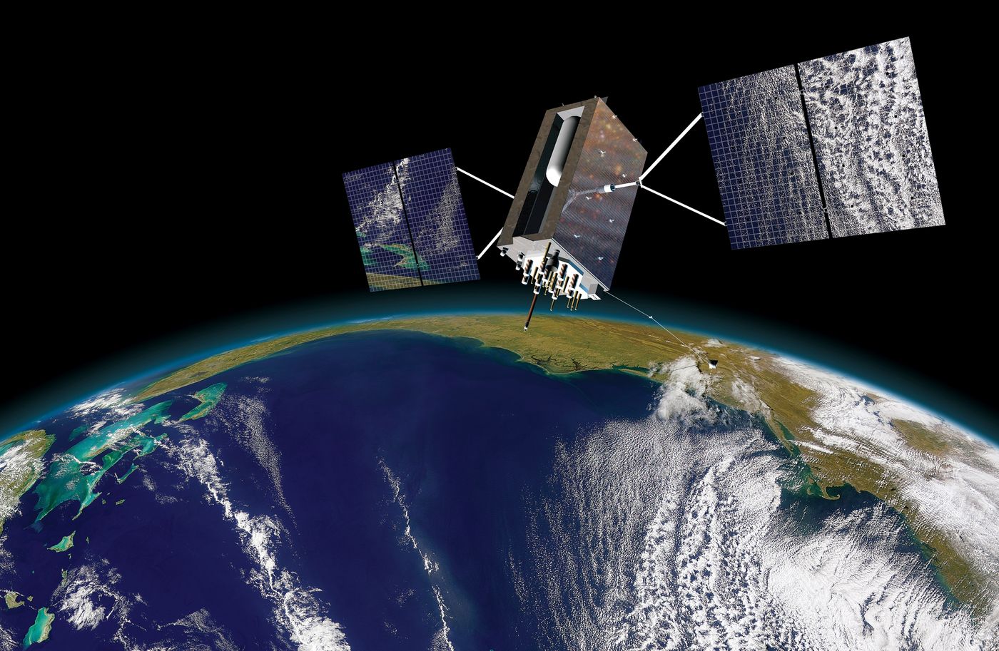
India claims that the new system, which is in the process of launching as you read this piece, is far more accurate than the dated GPS technology and that it would provide improved information that would be more reliable. The system relies on seven satellites, four of which have already been launched into space, and will be fully operational around mid-2016.
The system will be regional for the time being, giving India and a few other neighboring countries the ability to use it while the U.S. continues to use its own GPS system. To take advantage of it, devices sold in these regions would need to be capable of receiving both L and S band signals from the satellites in the skies above us.
"Both these L and S band signals received from seven satellite constellation of the IRNSS are being calculated by a special embedded software which reduces the errors caused by atmospheric disturbances significantly. This in turn gives a superior quality location accuracy than the American GPS system," says a senior Isro official.
People that would be able to take advantage of these features include every-day drivers, delivery services who need better directions to do their job properly, and even aircraft pilots who need accurate sense of direction for where to land.
After the system has had time to be tested, and grow, the IRNSS system would slowly roll out to the rest of the world. If it’s more accurate than GPS as those launching the service claim it is, then it could be an important step forward in accurate directions for those who depend on navigation throughout the world.
Source: India Times