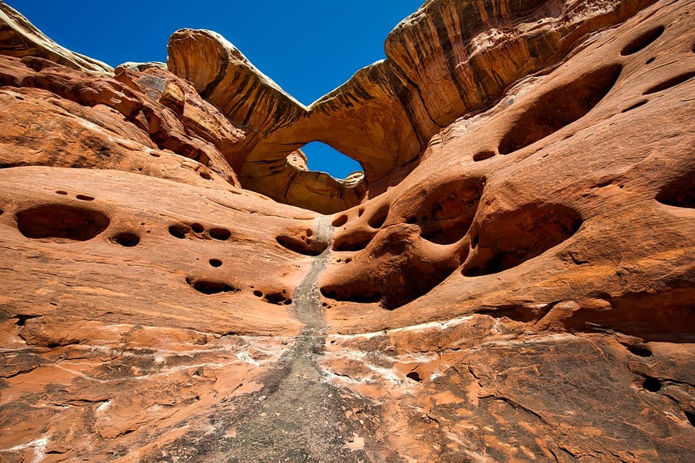
New research published in the journal Geology sheds light on the early history of the picturesque Navajo Sandstone. The swirling red and tan sediment that graces postcards of the southwestern US in Arches, Canyonlands, Capitol Reef, and Zion national parks was here long before the people that have inhabited its landscapes. But what can these beautiful rocks teach us about the future of our deserts?
Scientists hoping to gain insight on the process of desertification used carbonates and correlation of rock layers to determine age dates. Desertification refers to the process by which fertile lands become desert and it may be stating the obvious, but understanding that process is particularly relevant in our current climate crisis.
The geologists were able to figure out the numerical ages of the sediments in the biggest known sand sea (erg) during the Early Jurassic in southern Utah using a radiometric method of uranium-lead (U-Pb) to look at calcium carbonate rock layers. The layers come from lake deposits that once were in interdune areas, where there were watering holes for dinosaurs and small theraspids (relatives of mammals). The numerical ages that they found were 200.5 ± 1.5 million years (Ma) and 195.0 ± 7.7 Ma.
What do those numbers mean? Basically, that parts of the Navajo desert in eastern Utah are a lot older than we thought. And that when we look at other age dating information that we have from Arizona, we can see that the giant sand sea (erg) became younger to the south. And to add to that, as Science Daily reports, “The lake and associated spring deposits also show that this vast desert, at times, had a wetter climate and more active hydrologic cycle than had been previously assumed.”
All in all, it’s pretty neat that scientists are able to use sand deposits in order to understand what the land went through millions of years ago. Questions like, “How did this landscape lose its water bodies, vegetation, and animals? How long did desertification take to happen? How long did it last? What amount of time is actually represented by these deposits?” are now suddenly a lot clearer…although many questions remain.
Although the researchers were studying what happened to the land and groundwater long, long ago, they believe that their findings can help act as a model for the continental interior hydroclimates of today. We already know that the predicted rise in temperatures will put more stress on arid regions, as well as make semi-arid and non-arid regions even more dry. The authors say that marginal zones are especially vulnerable, pointing towards places in Africa and Asia that have so many people living on the land, such that the land cannot keep up with food and water demand. They hope their conclusions can be used to extrapolate from the Navajo erg to better understand desertification around the globe.
Sources: Science Daily, Geology