Yesterday, NASA’s Global Climate Change team announced that new global groundwater maps and U.S. drought forecasts are available to the public. While this information has been available for the U.S. since 2012, this is the first time that maps of current global wet and dry conditions have been available. The maps are available online through the National Drought Mitigation Center at the University of Nebraska-Lincoln (UNL).
This project was led by Matt Rodell, a hydrologist at NASA’s Goddard Space Flight Center in Maryland. In an article from the NASA Earth Science News Team, Rodell states that “The global products are important because there are so few worldwide drought maps out there. Droughts are usually well known when they happen in developed nations. But when there’s a drought in central Africa, for example, it may not be noticed until it causes a humanitarian crisis.”
NASA’s Earth Science News Team reports that the global maps and U.S. forecasts use data from the Gravity Recovery and Climate Experiment (GRACE) and GRACE-FO (follow-on). These satellites detect the movement of water on Earth based on variations in the gravity field. The GRACE satellites operated for 15 years, and GRACE-FO is currently providing data to provide a full picture of conditions that lead to drought. Professor Brian Wardlow, the director of the Center for Advanced Land Management Information Technologies at UNL, considers the data from the satellites critical to obtain “more relevant, more accurate, and more timely drought information.”
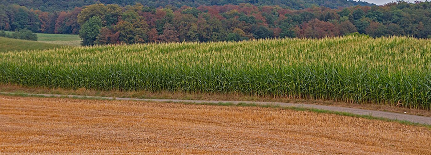
The satellite measurements integrated with computer models allow researchers to differentiate surface, root zone, and groundwater. Separating the water into layers enables the prediction of events such as flash floods and anticipated droughts. Each layer responds to changes in water availability at different rates, and having measurements at each layer helps stakeholders prepare as needed. Additionally, the modeling allows scientists to provide global water availability maps and U.S. drought forecast maps for the public. The new forecast maps show conditions projected 30, 60, and 90 days into the future. This information is useful to those needing to prepare for flash droughts and floods, such as those in the agricultural sector.
Sources: NASA Climate Change