A
satellite study, published last week in the journal
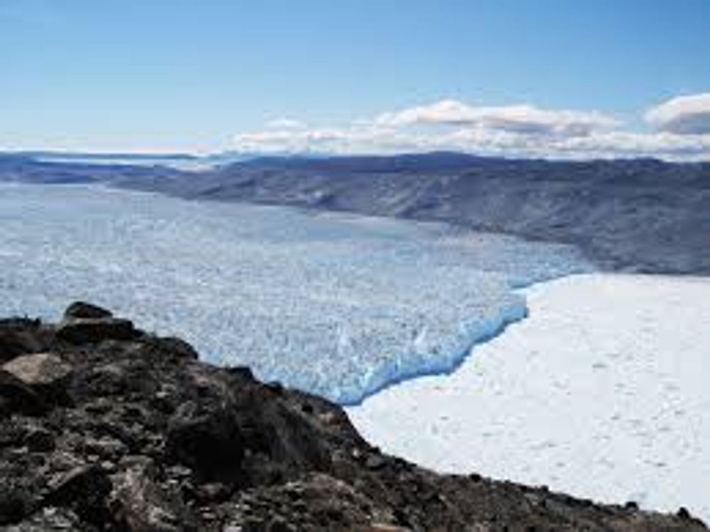
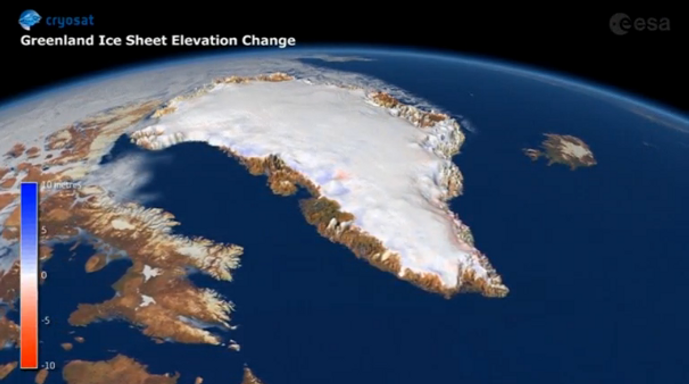
Geophysical Research Letters, suggests that the Greenland ice sheet lost a whopping 1 trillion tons of ice between the years 2011 and 2014 alone. That big of a number may be hard to digest - it’s equivalent to the weight of more than 2.7 million Empire State Buildings with a cube over 10 kilometers (six miles) on a side. That’s taller than Mt. Everest, and would have about three times that mountain’s volume! And according to the team of scientists who used ice models and data from the European Space Agency's CryoSat satellite to perform the study, a big portion of it came from just five glaciers and the melt led to a 2.5-millimeter rise in sea levels in just four years.These numbers are otherwise unprecedented considering that over 20 years prior to 2011, sea levels rose just half that amount in a time period that was five times longer. This means the massive melt is accelerating sea level rise at an alarming rate - so alarming that the study’s results are sounding a warning bell around the world.
Ice loss from Greenland may have contributed as much as a full inch of sea-level rise in the last 100 years and up to 10 percent of all the sea-level rise that’s been documented since the 1990s. Research already suggests that the ice sheet has lost at least
9 trillion tons of ice in the past century and that the rate of loss has increased over time. Climate scientists are keeping a close eye on the region because of its potentially huge contributions to future sea-level rise, whose numbers vary depending on which data you use. Some sources say that if the whole Greenland ice sheet were to melt, sea levels could rise some 20 feet. As it is, sea levels are expected to rise from as little as three feet to as much as six and a half feet by 2100, according to NOAA.
The
CryoSat-2, an environmental research satellite launched by the European Space Agency in 2010 from which the research team procured its data, uses altimetry - basically, measuring how the surface of Greenland’s altitude changed over time in response to ice gains or losses. But they had to make sure to differentiate between ice and snowfall, for they have different densities.
“Simplistically, if the ice sheet’s going up, we can find that as evidence that the ice sheet is growing,” said lead author Malcolm McMillan, a research fellow at the University of Leeds. “And where we see that the ice sheet surface is lowering, we can find that the ice sheet is losing ice. Snow and ice are at different densities, so they’re associated with a different amount of mass loss,” McMillan explained. “We used a regional climate model and a model of the surface of the ice sheet to really inform us and tell us about the nature of the changes that we’re seeing.”
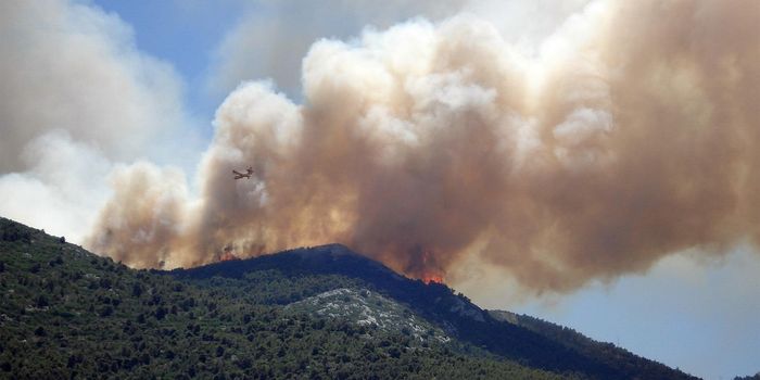
This ice melt of course is all due to the shocking reality that the current global concentration of carbon dioxide in the atmosphere – the primary driver of recent climate change – has reached 400 parts per million (ppm) for the first time in recorded history.
“That should be a huge red flag to people,” geologist Hal Wanless of the University of Miami said. “That should tell people, hey look, we’ve really done it. We’re really going to initiate some serious ice sheet melt.”
Sources:
The Washington Post,
Wiley,
Slate,
Weather Channel,
Gizmodo